GHF-E106-R95-A1 partial
GGAT assessment of Great House Farmhouse (filed August 1990)
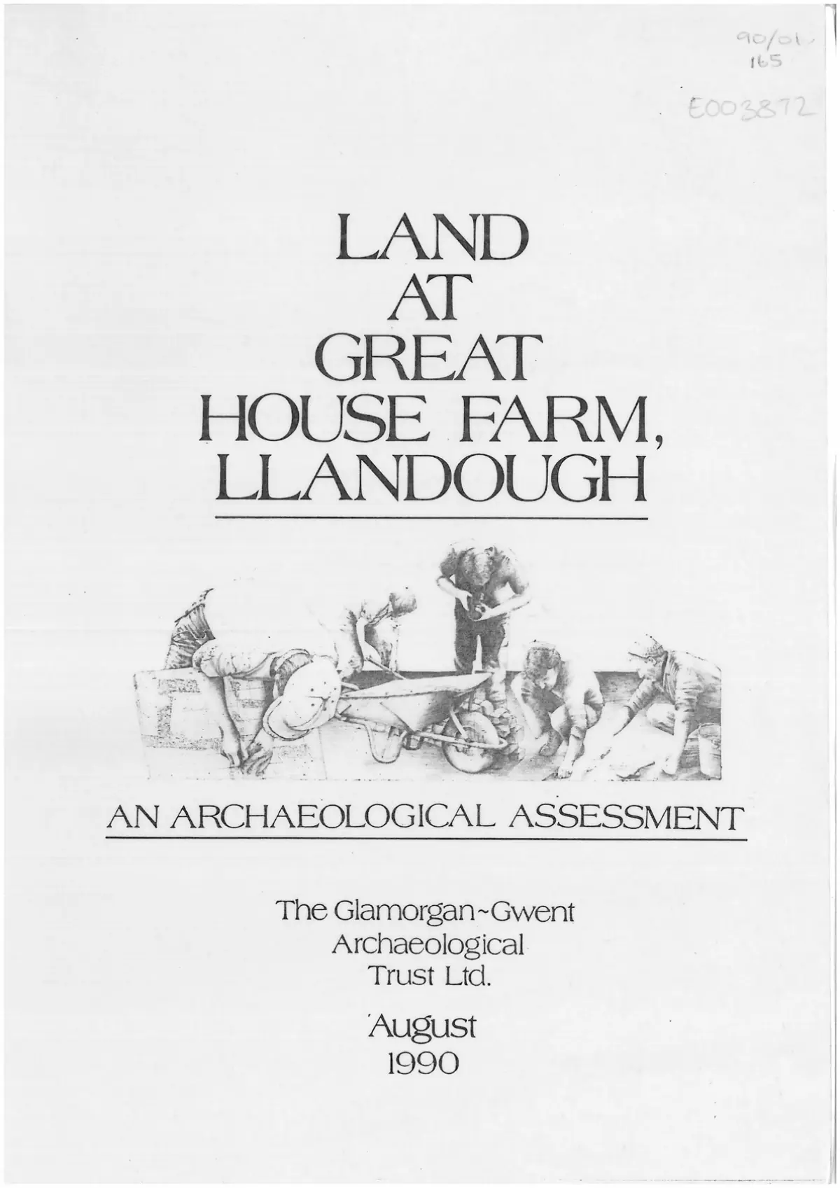
Transcript
LAND
AT
GREAT
HOUSE FARM,
LLANDOUGH

' # hy,
4 a Fr V =
| 3S

/ oS ze 3
he SAE teh

AN ARCHAEOLOGICAL ASSESSMENT

The Glamorgan~Gwent

Archaeological
Trust Lid.

August
1990

LAND
AL
GREAT
HOUSE FARM,
LLANDOUGH

AN ASSESSMENT OF THE ARCHAEOLOGICAL IMPLICATIONS OF
REDEVELOPMENT AT THE SITE OF
GREAT HOUSE FARM, LLANDOUGH

The Glamorgan~Gwent
Archaeological
Trust Lid.

August
1990

AN ASSESSMENT OF THE ARCHAEOLOGICAL IMPLICATIONS OF
REDEVELOPMENT AT THE SITE OF
GREAT HOUSE FARM, LLANDOUGH

1) INTRODUCTION AND ACKNOWLEDGEMENTS

Following the demolition of Great House Farm, Llandough in December 1988
the Glamorgan-Gwent Archaeological Trust (GGAT) entered into discussion
with Debenham Tewson, agents for the site owners B P Properties Ltd, on the
possible archaeological implications of redevelopment. The Trust, in its
capacity as archaeological advisor to the Vale of Glamorgan Borough Council
(VGBC), informed the local planning authority of the archaeological
sensitivity of the site, and also kept in close contact with the Llandough
Community Council, who initially contacted the Trust about the
redevelopment.

It was agreed that the potential archaeological interest should be
Read more
considered in the light of Welsh Office planning guidance and the County
and Local Plans. Accordingly the VGBC determined that, in granting outline
planning consent, 'no development shail take place until a field evaluation
survey and archaeological assessment Pain nid has been carried out by a
qualified archaeologist to the sa sfaction of Ene Local Planning
Authority’ and that ‘the detail pl Ful

to the results and findings of the archaeological investigations’. A <hres
month time-limit was set for the archaeological work, and on the
recommendation of Morgan Bruce, Solicitors for Debenham Tewson, it was
agreed that the report should be completed as soon as possibile thereafter.

B P Properties commissioned GGAT to undertake the fieldwork and the repert
of which this introduction forms a part Tt will be evicent therefore that
GGAT has throughout played a dual roie; on the one hand it has advised the
Local Planning Authority, and on the other provided comparable advice to
the applicant. It should be stressed that GGAT made this clear to both
parties at the outset, in order that either of them could seek alternative
qualified advice if it was felt a conflict of interest might arise.

The assistance of a number of individuals in the above organisations is
gratefully acknowledged by GGAT. In particular Mr Joy of Debenham Tewson,
Messrs Dylan and Maitland Evans of ¥YGBC, Mr Cann of Morgan Bruce and Mr
Egan of Llandough Community Council! have all afforded every co-operation to
GGAT.

2) THE REDEVELOPMENT SITE (Fig 1)

The redevelopment site occupies an irregula area to the north and
east of St Dochdwy's church and is centred 7331]

are demarcated by the break in siorce apo

marth, by adjacent housing ‘to the north

Llandough Hill, the churchyard 4

south. The northern area
farmho is a i
east sector si

the watercourse a

FORMER
BRICKWORKS \
SITE

N

Great House
Farm

Wales & West _
Housing Association

Os ae ee ee 100m

Fig 1: Great House Farm, Llandough. Location of re-development site.

substrate is of lias limestone and liassic clays, the latter being
prominent near the upper part of the geciogical stratigraphy

3) ARCHAEOLOGICAL BACKGROUND AND POTENTIAL

es
wD
ow
r.
wu
oO
>

The church of St Dochdwy and the surrounding a considerable
archaeological interest. The churchyard is likely to be on the site of an
earlier foundation, perhaps dating back to the seventh century AD (Davies
1978). The cross shaft to the south of the west end of thec
the tenth or eleventh century and is of a scale and style wh
an important religious site (RCAHMW 1976, Inv No 828).

To the south of the church an Iron Age farmstead, Roman

cemetery, medieval monastic grange, late medieval village and pos
mill and farm are known to have existed (OQwen-John )
presence of a Norman earthwork castle is presu

Cark Age

Prior to the assessment the pri:
the redevelopment site its
an cwnership dispute ana the 5
in 1988 the building was i !
hold a certain amount of inf
summary, although doth structy DI
century date, ‘the farmhouse may have
parts of a seventeenth century house
reconstruction.

v
oO
Hee
> @
D>

@
—
cs
“oO @
oo
©

r=]
oO
oO
5
Ae)
oO fe
“i »
a %
2% o-

1
0
w

PEAR). ST 16817334

(WR.

LLAWVOUGH,

HOUS# FARM,

GREAT

Beam medium chamfered with

Beams narrow chamfered.
rounded stop.

Ogee stops with torus,
Beam narrow chamfered,

ogee stops.

A
B
Cc

XVIII cent.

Late XVII cent.

purty Aq paonpoidos

\

.

\

Thomas

December 1988,

Scale: 1/100

“(M)JWHYOU pue sewoyy fH Jo uorsstwied

wey ay} Jo Aaaing

*y8nopueyy ‘wsey asnopyy 7eaI5

Z 814

The seventeenth century phase is associated with the
Vaughan Family, the nineteenth century work with the Bute Estate. A number
of architectural features were recorded in situ in 1974, (Fig 2) and others
were observed in the rubble following demolition. Sherds of twelfth to
fourteenth century pottery were recovered by E J Beare in 1962-3 on the
slope immediately north-east of the Great House, while it is likely that
some medieval ironwork which is held by the National Museum of Wales was
discovered under the rear wing c 1880 (RCAHMW 1988).

In addition to the recorded evidence noted above there was potential for
further archaeological interest. The possibility that deposits relating to
the early monastic settlement might survive in this area could not be ruled
out, and it was possible that the churchyard may formerly have been more
extensive. Although the main focus of Iron Age and Roman activity appeared
to lie to the south it was possible that further evidence might have
survived in this area. A medieval well, Ffynnon y Drindod, was originally
lecated to the north of the church, and although its exact position is
unknown it may have been located within the development site (RCAHMW 1988).

4) ARCHAEOLOGICAL FIELDWORK: OBJECTIVES AND METHODOLOGY
The aim of the archaeological fieldwork was two-fold. In the first

instance the investigation was aimed at establishing whether deposits
relating to any of the features described in 3 above ‘or indeed any other
type of archaeological activity) were present. The second aim was to
assess the likely impact of redevelopment on the identified archaeological
interests and to recommend to B P Properties methods by which these
interests could best be protected. In addition to the fieldwork other
relevant sources (eg, cartographic) would be consulted as appropriate.

In view of the size and character of the development site it was decided
that the most appropriate way to test the archaeological potential of the
site was by a series of machine cut trenches, the position of which was
determined either by the likelihood of archaeological deposits being
encountered (eg, near the churchyard wall), or at random. It was agreed
that the trenches should mostly be cut to the level of the substrate, but
in some areas this proved impractical. The machine trenches were closely
observed and subject to basic archaeological recording.

The system of machine trenching was in effect a compromise between a more
extensive assessment of the archaeological potential of the site, and the
pre-existing state of knowledge, which in this case was insufficient to
enable informed archaeological decisions to be taken. The results
therefore give a much more reliable indication of the likely archaeological
implications of redevelopment, yet by their nature cannot provide total
assurance on the presence and value of archaeological deposits across the
development site as a whole.
Artifact description
Confirms 1988 listing assessment rejected the property, provides two photographs, states no further electronic records held, and continues a paper-file search.
| Catalogue ID | GHF-E106-R95-A1 |
|---|---|
| What it is | PDF document from Welsh Government / Cadw. Attached to an email received on 21 May 2026, their reference ATISN 27021. 16 pages. |
| From | Welsh Government / Cadw |
| Email received | 21 May 2026 |
| Their reference | ATISN 27021 |
| Pages | 16 |
| File | 1990-08-xx - Great House Farmhouse, Llandough - GGAT Assessment.pdf (6352 KB) |
| State | Read |
Our integration
An undated GGAT assessment of Great House Farmhouse, filed as August 1990, sent by Cadw with the 1988 survey photographs. The covering email confirms that the 1988 listing assessment did not recommend the house, and that a search of paper files was continuing.
Why it matters: it is one of the few documents on file written after the demolition that describes the site. It is the closest thing so far to the archaeological record of what was there.
What cuts against the case: an assessment made after demolition can only record what was left. Its date also places it after the 1988 decision, so it cannot show what that decision was based on.
Related: GHF-E106-R101-A1 — ATISN 27021 Review Ressponse.pdf · GHF-E106-R37-A1 — ATISN 27021 response letter · GHF-E106-R37-A2 — ATISN 27021 doc 1: farmhouse survey photo, 29 July 1988 · GHF-E106-R37-A3 — ATISN 27021 doc 2: barn survey photo, 29 July 1988 · GHF-E106-R97-A1 — Cadw survey photograph: barn, 29 July 1988 · GHF-E106-R98-A1 — Cadw survey photograph: farmhouse, 29 July 1988 · GHF-E106-R99-A1 — Internal Review Acknowledgement Letter.pdf · The covering email · What They Don’t Say: WTDS-5c5b715a-1, WTDS-5c5b715a-2, WTDS-5c5b715a-3, WTDS-5c5b715a-4 · EV-0489 in the evidence catalogue · Timeline · Disclosure Dartboard