


| EV ID | EV-0005 |
|---|---|
| Title | Historical map labelled “1841-map” (title, date, source unverified) |
| Date of document | undated (media library label “1841-map”; survey/edition date not verified) |
| Type | map/plan |
| Evidence label | PRIMARY DOCUMENT READ |
| Repository / reference | Buckler family evidence repository. No archive/source reference, sheet number or scale recorded. |
| Status | PUBLISHED — open the scan (image) |
| Provenance | Image uploaded to wiki media library labelled “1841-map”; Linked file named as a Chrome screenshot. Creator, original source, archive reference and reproduction status unconfirmed. |
| Wiki catalogue page | GHF-E165 |
| Claims that rely on this | Evidence Library, GHF-E173 — Cedwyn / Cwm-Cedwyn: complete reference index |
About this page type → Read the Docs
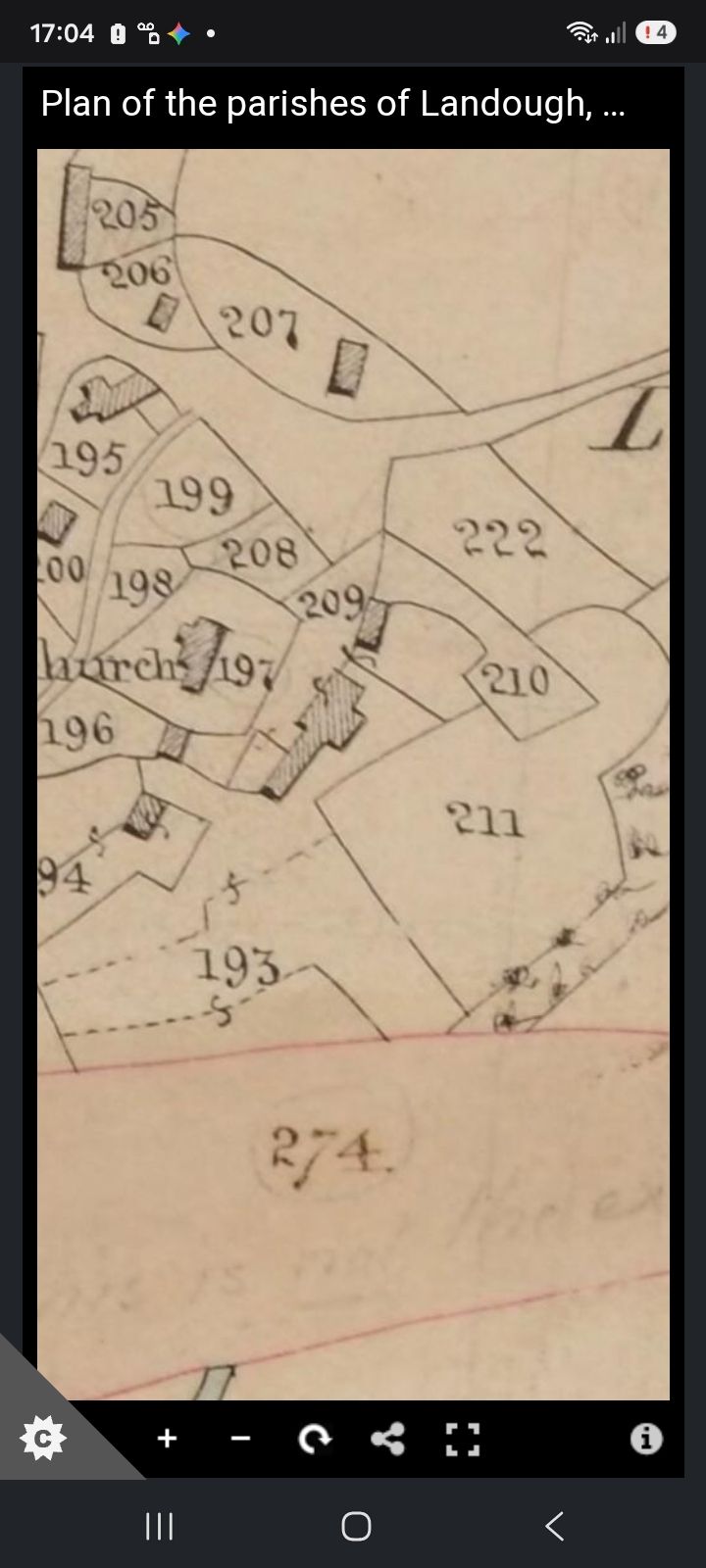
Proves: A map image labelled “1841-map” is held in the wiki media library.
Does not prove: Title, survey/edition date, sheet, scale, archive reference and any tithe apportionment link are unconfirmed; Not proof of ownership, possession or conveyance effect.
File stored in the wayback archive: EV-0005 in the artifact index.
